Home
Road Atlas Ireland by Collins Maps, Perfect | Indigo Chapters
Loading Inventory...
Coles
Road Atlas Ireland by Collins Maps, Perfect | Indigo Chapters
From Collins Maps
Current price: $12.99
Coles
Road Atlas Ireland by Collins Maps, Perfect | Indigo Chapters
From Collins Maps
Current price: $12.99
Loading Inventory...
Size: 7 x 297 x 210
*Product information may vary - to confirm product availability, pricing, shipping and return information please contact Coles
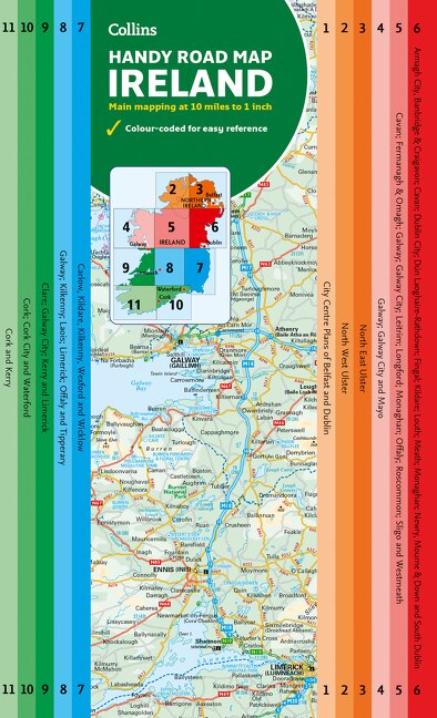
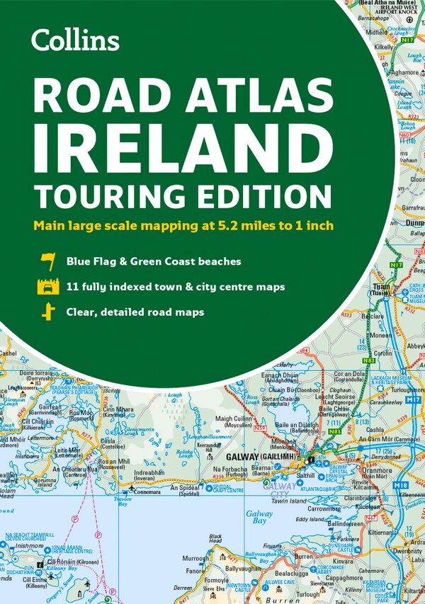
Explore Ireland with this accurate and fully updated road atlas. This road atlas is at A4 size, covering the whole of Ireland and features clear and detailed Collins colour mapping at a scale of 5.2 miles to 1 inch. Perfect for both residents and visitorstouring Ireland. This revised edition includes: Places of tourist interest Contact information for Tourist Information Centres with grid references to the mapping Fully indexed street maps of 11 cities and towns – Dublin, Belfast, Cork, Limerick, Waterford, Londonderry (Derry), Galway, Bangor, Dun Laoghaire, Drogheda and Killarney Blue Flag & Green Coast beaches Ferry and airport information; Distance chart; Distances marked on the roads in miles and kilometres Route planning map of the whole of Ireland at 15.8 miles to 1 inch Administrative map of Irish counties and districts. | Road Atlas Ireland by Collins Maps, Perfect | Indigo Chapters